The Heritage Maps website is a great resource for finding out more about the archaeology, geology and habitats of your area. You can select and deselect various databases to view and interact with.
The Myplan website is also full of information including current planning zones, and a choice of OSI basemaps to view.
The OSI website also has a great feature which allows you to select the historical maps to view. County Longford was mapped for the first 6-inch series in 1838 and it is possible to zoom in and see every building, fort, quarry and road in the area at that time. You can also see how things have changed over time by selecting the Ortho 1995, 2000 and 2005 layers instead.
These handrawn maps of the county's bogs are also worth a look. They were drawn by Richard Lowell Edgeworth in 1810 as part of a nationwide survey of the peatlands.
https://www.johngrenham.com/browse/county_civil.php?county=Longford
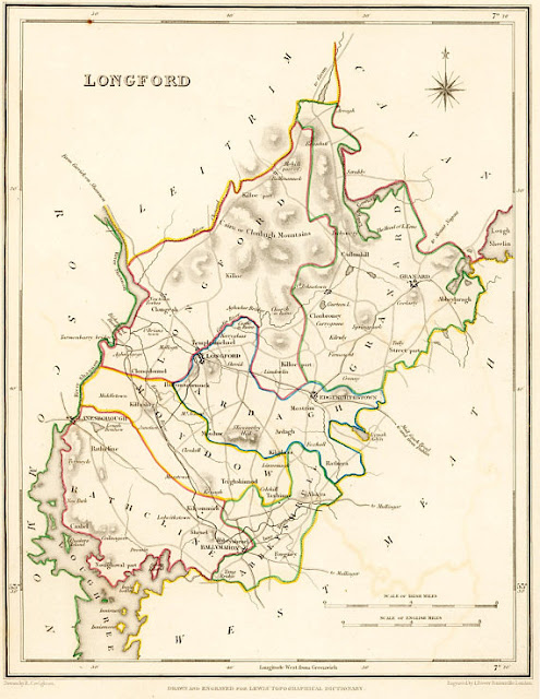
http://www.swilson.info/lewismaps37.php?coid=19
 |
| Screenshot of the growth of Longford Town map from pre-1600 to present available on the Irish Historical Atlas website (link below) |
https://www.lbrowncollection.com/ireland-barony-maps-county-longford/
 | |
| This map of County Longford by Flynn and Lynch is on display in Ardagh Heritage and Creativity Centre and features a list of townlands in Irish and English along with their meanings. |
 |
| Ardagh Heritage and Creativity Centre also has a copy of the William Edgeworth 1813 map which was reissued in 2000 by Longford Historical Society. |


No comments:
Post a Comment